2018 GeoDev Meetup
House hunting the data scientist way

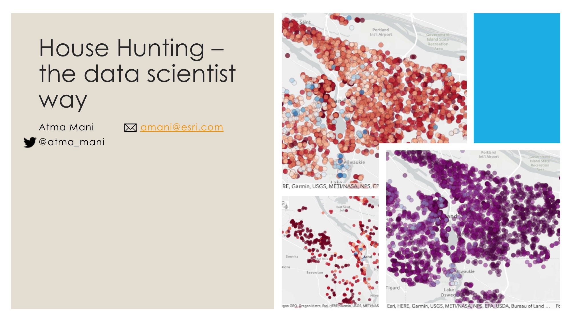
Buying a house is a huge financial and personal undertaking for most people. Whether we realize or not, a lot of decisions we make are heavily influenced by the location of the houses. In this talk, I show how Python's data analysis and geospatial analysis packages can be used to analyze the whole gamut of available listings in a market, evaluate and score properties based on various attribute and spatial parameters and arrive at a shortlist. I extend by showing how this process can be used to build a machine learning model that will understand our preferences and continue to learn as more data is fed. I conclude with ideas for future work and how rest of the industry is progressing in this field.
This talk was presented at a Python MeetUp. Find the link here. This talk was published as a blog on Medium and ArcUser magazine.
Jupyter Notebooks
If you are interested in the technical details of this study, you can view the notebooks below:
- Cleaning data
- Exploratory data analysis
- Feature engineering - neighboring facilities
- Feature engineering - batch
- Ranking properties
- Building a recommendation engine